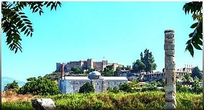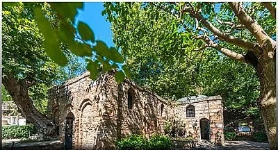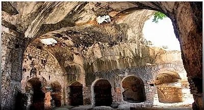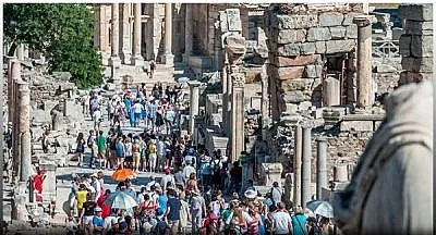




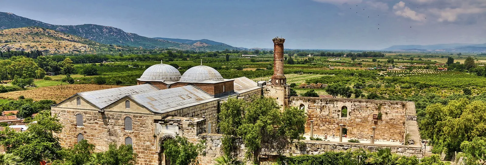
İsa Bey Mosque stands on the southwest side of the hill, between the Temple of Artemis and the Basilica of St. John. It is meaningful that, in this location, it completes a triangle of symbols of three different religions, and there is no other example like it in the world. The mosque was commissioned in 1375 by İsa Bey of the Aydınoğulları and built by the Damascene architect Ali ibn Mushaymish al-Dimashqi. Measuring 51 x 57 m, the mosque reuses pieces from Ephesus and the Temple of Artemis, especially columns. The names of İsa Bey, son of Mehmet, and the architect Ali, son of Mushaymish of Damascus, can be read on the inscription above the monumental portal.
At the center of the mosque is a porticoed courtyard enclosing the ablution fountain. Of the two minarets that once rose above the east and west gates, the eastern one has completely collapsed, leaving a single minaret.
After 1975, improvement and repair work carried out by the Regional Directorate of Foundations allowed the mosque to reopen for worship.

Built in Ayasuluk, the capital of the Aydınoğulları Beylik, İsa Bey Mosque has a main façade whose marble craftsmanship is among the finest examples in western Anatolia. Most of the monuments in Ayasuluk (Selçuk) dating from the Aydınoğulları period (1304–1390) are still standing. The most important of them, İsa Bey Mosque, despite the wear it suffered between 1700 and 1975, still stands and continues to serve as a mosque.
The mosque’s founder, İsa Bey, succeeded Hızır Bey as head of the beylik, ruled for about 30 years (1360–1390) and moved the capital from Birgi to Ayasuluk. İsa Bey spent a large share of the spoils from the war-filled years before him (especially under Umur Bey), of agricultural revenues and of the customs revenues that grew thanks to trade agreements with the Venetians on building monuments with religious and social functions. Completed on 13 March 1375, İsa Bey Mosque was designed by the Damascene architect Ali ibn Mushaymish al-Dimashqi. Covering an area of 50 x 55 m on the southwest side of the hill in the center of Ayasuluk, the mosque belongs to the group of mosques with a cross nave, or transept plan. The prayer hall is divided transversely into two by four large granite columns and arches. The area in front of the mihrab (the central section) is covered by two domes.
Examples of this transverse-plan type of mosque include the Great Mosque of Harran, the Umayyad Mosque in Damascus and the Great Mosque of Diyarbakır. Most of the marble used on the mosque’s west façade was brought from the Temple of Artemis, which was then in ruins. At the center of the façade is a richly decorated monumental portal bearing an inscription. South of the portal, the four windows on the west façade of the prayer hall, each different in structure and decoration, are regarded as true masterpieces of art. The beauty of their outer faces is reflected on the inside as well.
İsa Bey Mosque in Ayasuluk is one of the rare two-minaret mosques (one has collapsed) of the Anatolian Beyliks period. The courtyard north of the prayer hall, which surviving traces show was surrounded by porticoes on three sides, is the first pre-Ottoman example of this layout. Pieces of the building’s mihrab and its inscription were partly put back in place during the restoration carried out in 1988.